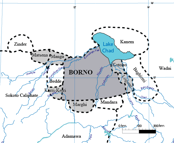
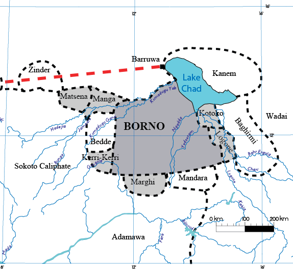
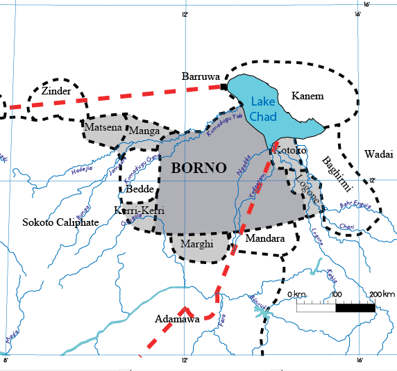
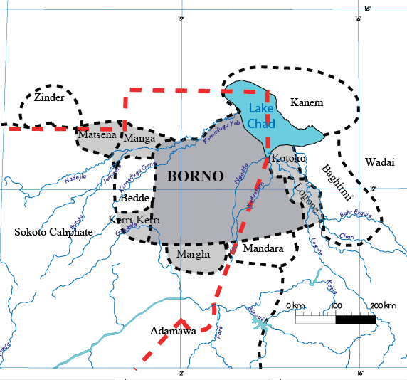
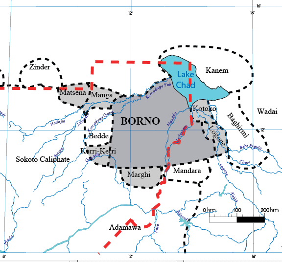
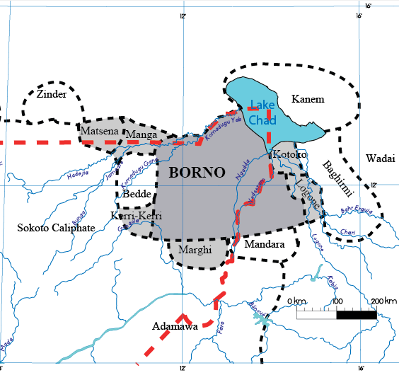
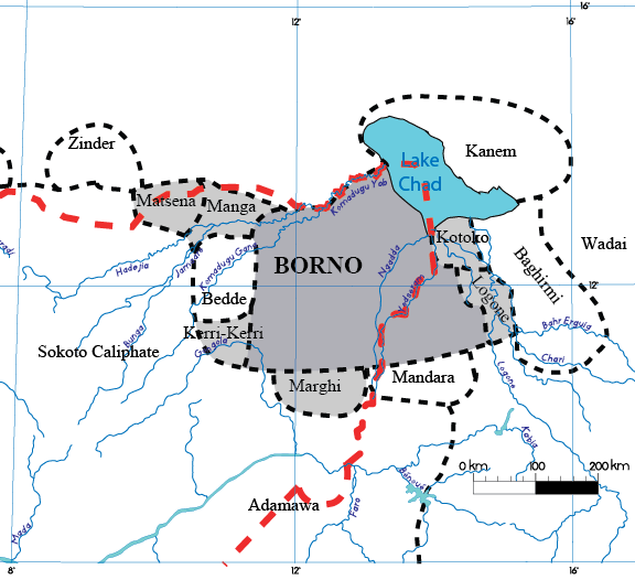
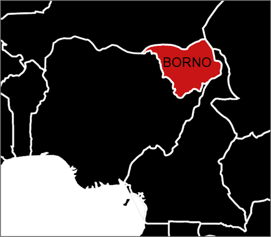
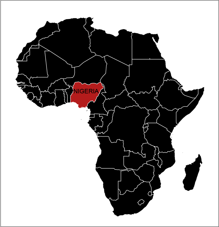
This page displays the maps I have created for my PhD on the history of the borders of Borno in modern-day Nigeria. This series of maps reconstructs the evolution of the borders of Borno from the beginning of the nineteenth century to 2012. Their creation was based on archival work undertaken in Nigeria, the United Kingdom and Germany. This compilation of geographical information was only possible with the bibliography below. I do not claim that these maps are geographically accurate but they are the best representation which led to the imagined reconstruction of the kingdom of Borno by the Europeans.
If you want to use these maps, use this Creative Commons licence. If you want to download the bibliography, you can use Zotero.
Bibliography: